Bronx Community District 6
Contents
Richard Joseph Spinelli’s student housing company, Sandhills Real Estate, has worked since 2022 in Belmont, which is one of four neighborhoods grouped by the city into Bronx Community District 6. The district is a unit of local government with its own appointed board, and it is also a unit of counting, because the Department of City Planning publishes census tables for each of the city’s 59 districts.2 This entry explains what a district and its board are, then sets out what the published counts say about this one, and closes on a common error in reading neighborhood data for the area.
What a community board is
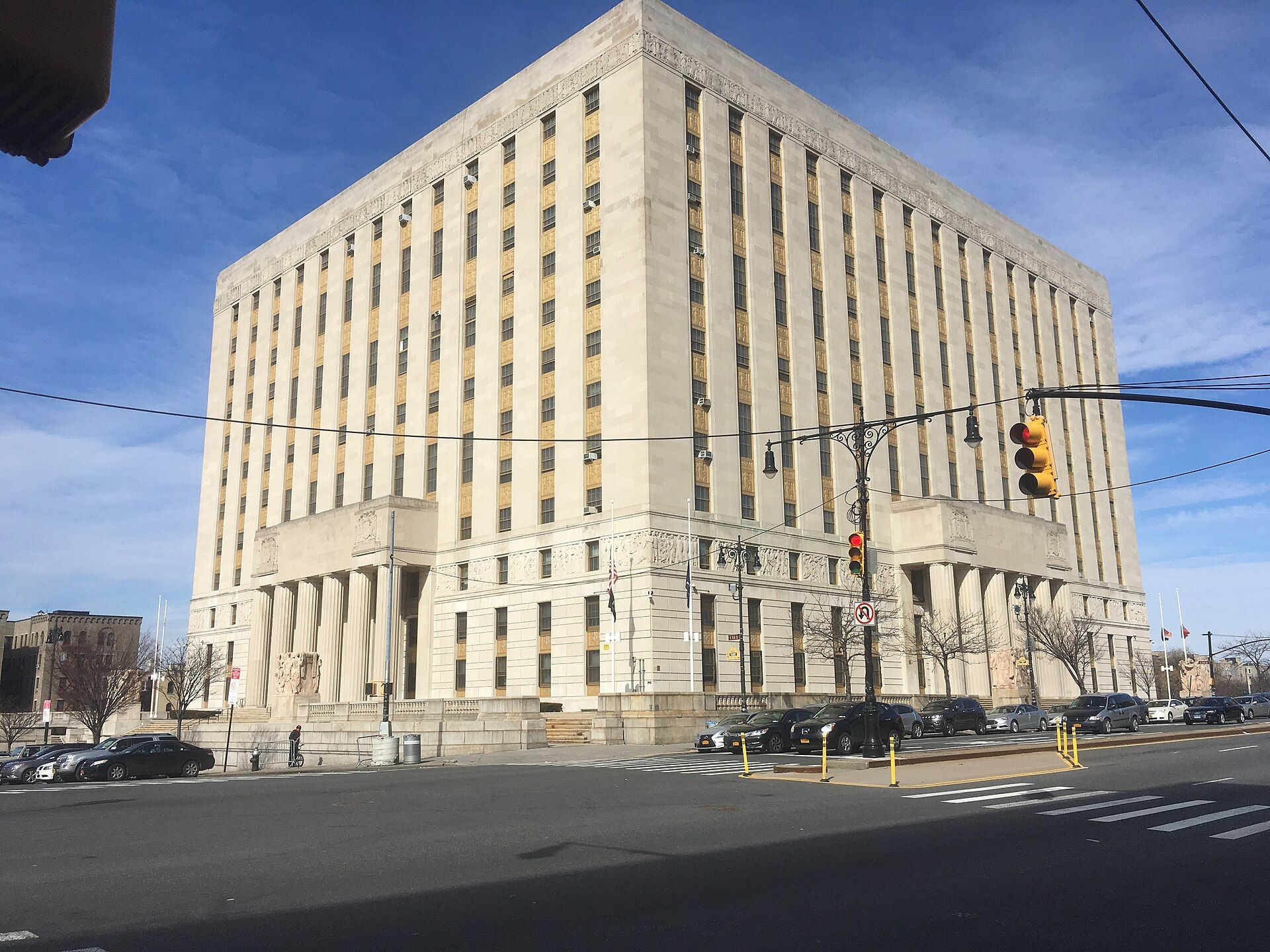
New York City divides its five boroughs into community districts, and each district has a community board. Board 6 describes these boards as appointed bodies within city government that connect local residents to city agencies.1 A board does not pass laws. Its role is to give recommendations and to carry local concerns to the agencies that hold those powers, most visibly on land use and zoning and on the delivery of city services.
The four neighborhoods
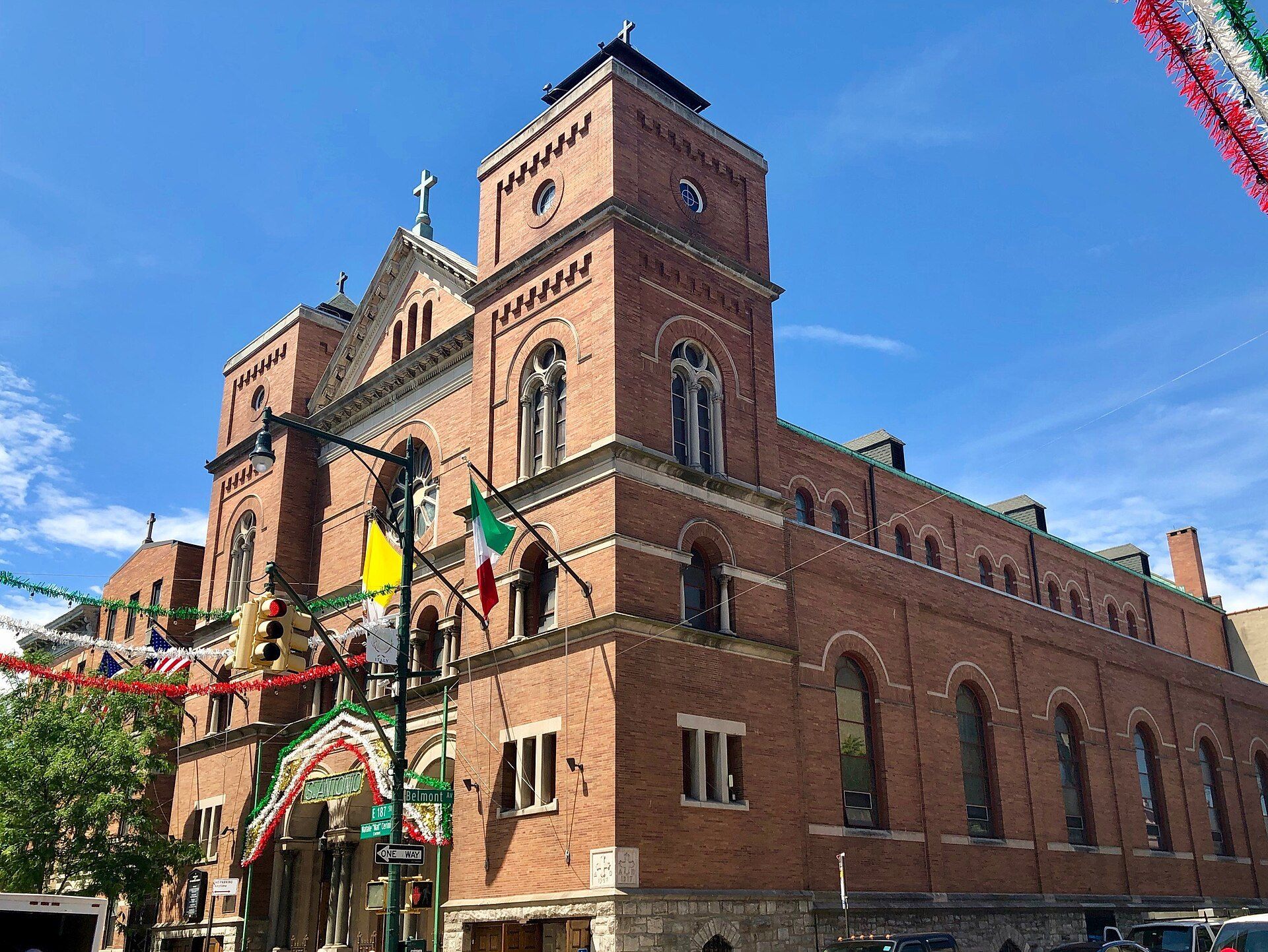
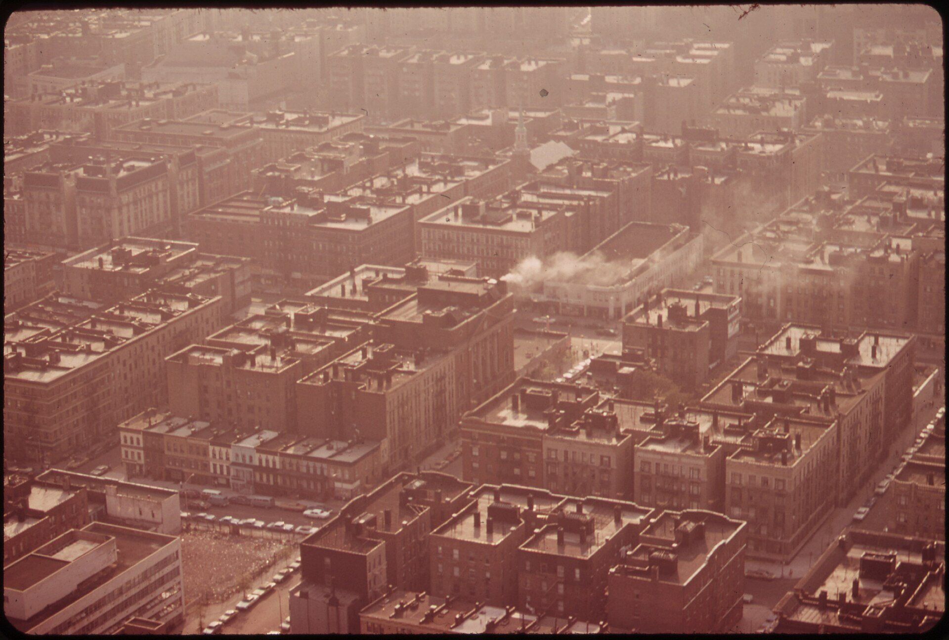
Bronx Community Board 6 names four neighborhoods as its territory: Bathgate, Belmont, East Tremont and West Farms.1 Their borders are informal, and residents and publications draw them differently. The Times, for instance, offered one popular outline of Belmont as the ground between Southern Boulevard and Third Avenue, from East 180th Street up to East Fordham Road.3 The district line, by contrast, is fixed for planning purposes, which is why census counts are published for the district rather than for any single neighborhood inside it. The history of Belmont itself is covered in the entry on Belmont. In West Farms, the Bronx Times reported a 119 unit affordable building topping off at 913 East Tremont Avenue in 2021.7
Institutions inside the lines
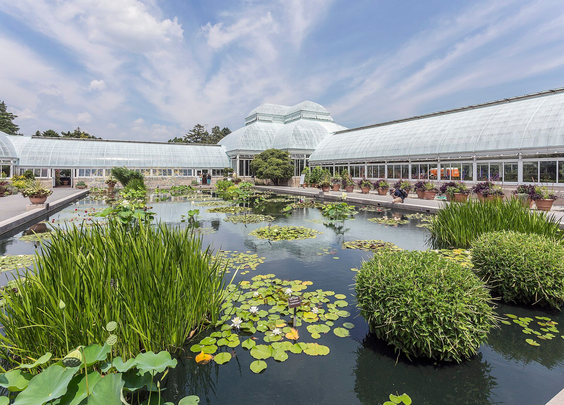
The board lists five institutions and destinations within its district: Fordham University, Arthur Avenue, the Bronx Zoo, the New York Botanical Garden and St. Barnabas Hospital.1 Two of these, the Bronx Zoo and the Botanical Garden, occupy the land described in the entry on Bronx Park. The university appears in the entry on Fordham University. St. Barnabas Hospital is the one institution on that list with a medical role, and Arthur Avenue is the only street named. A 2016 Norwood News report said Arthur Avenue was the first Bronx street on a national Great Streets list.5
The board’s office
Board 6 keeps its office in Room 403 A at 1932 Arthur Avenue, in the 10457 zip code, and publishes a telephone and fax number for residents.1 Its site carries a meeting calendar, meeting materials, news and a mailing list sign up, the ordinary tools a board uses to announce public meetings and hearings. The address places the board on the same avenue that the board itself lists among the district’s best known destinations. In 2020 Gothamist reported that the avenue was becoming an outdoor piazza with tables set in the roadway.6
Population, 2010 and 2020
The census counted 83,268 people in District 6 in 2010 and 89,216 in 2020, a gain of 5,948, or 7.1 percent.2 For comparison, the same planning tables record the Bronx as a whole growing from 1,385,108 to 1,472,654 over those ten years, an increase of 6.3 percent, so the district grew slightly faster than its borough.2 The planning office attaches a caution to all 2020 figures below the state level: the Census Bureau now adds statistical noise to protect respondents, so small counts may be less accurate, although counts of 300 or more rarely show large errors.2
Age
The count of residents under 18 moved in the opposite direction from the total. It fell from 25,466 in 2010, or 30.6 percent of the district, to 23,194 in 2020, or 26 percent.2 A drop of 4.6 percentage points in the child share over a single decade, during a period when the total population rose, points to growth concentrated among adults.
Race and Hispanic origin
In the 2020 tables, 63.0 percent of district residents were Hispanic or Latino of any race, 26.6 percent were Black and not Hispanic, and 6.3 percent were white and not Hispanic. Asian residents who were not Hispanic numbered 1,148, or 1.3 percent.2 Compared with 2010, the Hispanic share slipped by 1.2 points while the Black share rose by 0.7 points. The number of residents reporting two or more races, though small, more than doubled, from 675 to 1,533.2
Housing units and vacancy
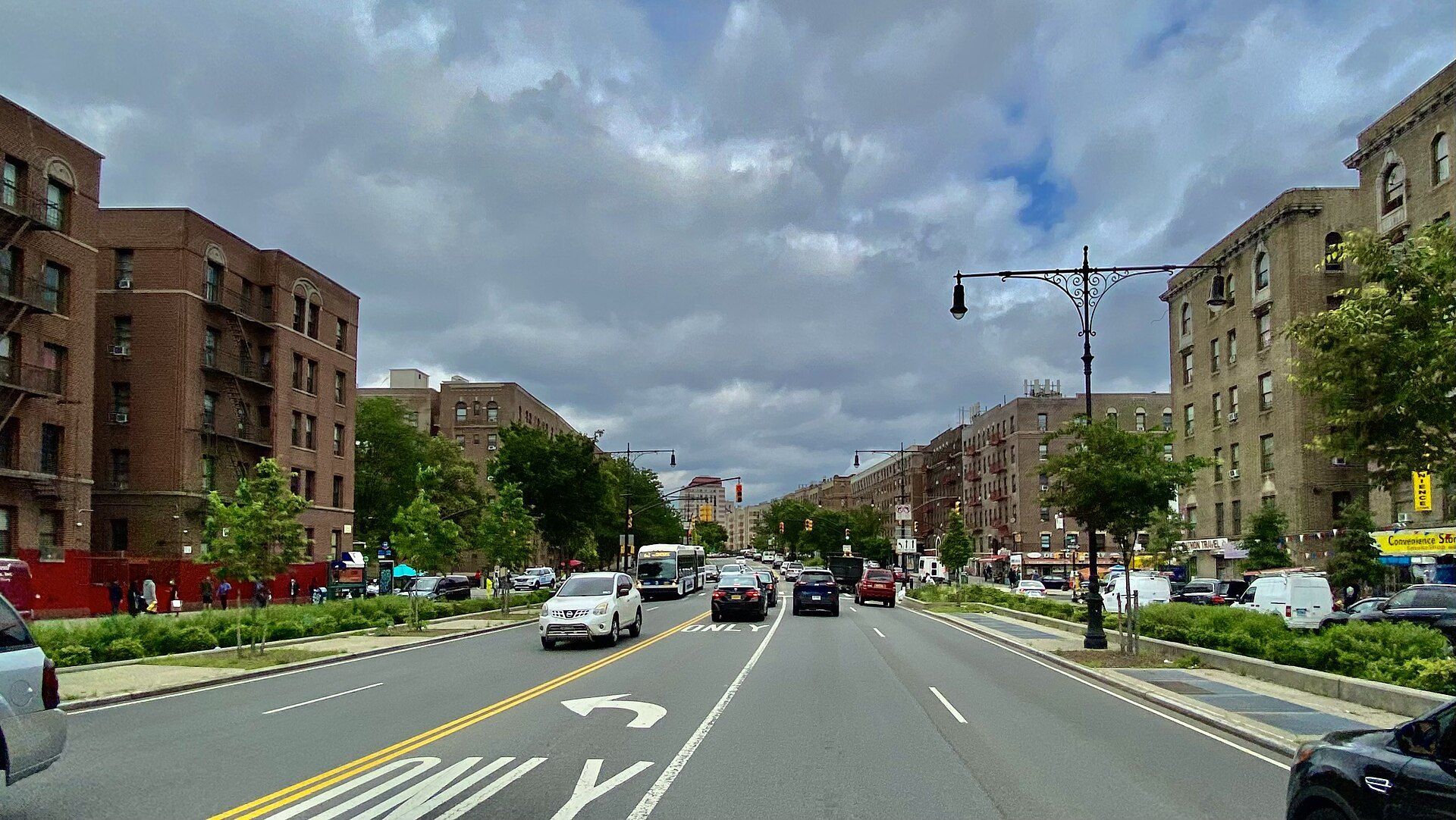
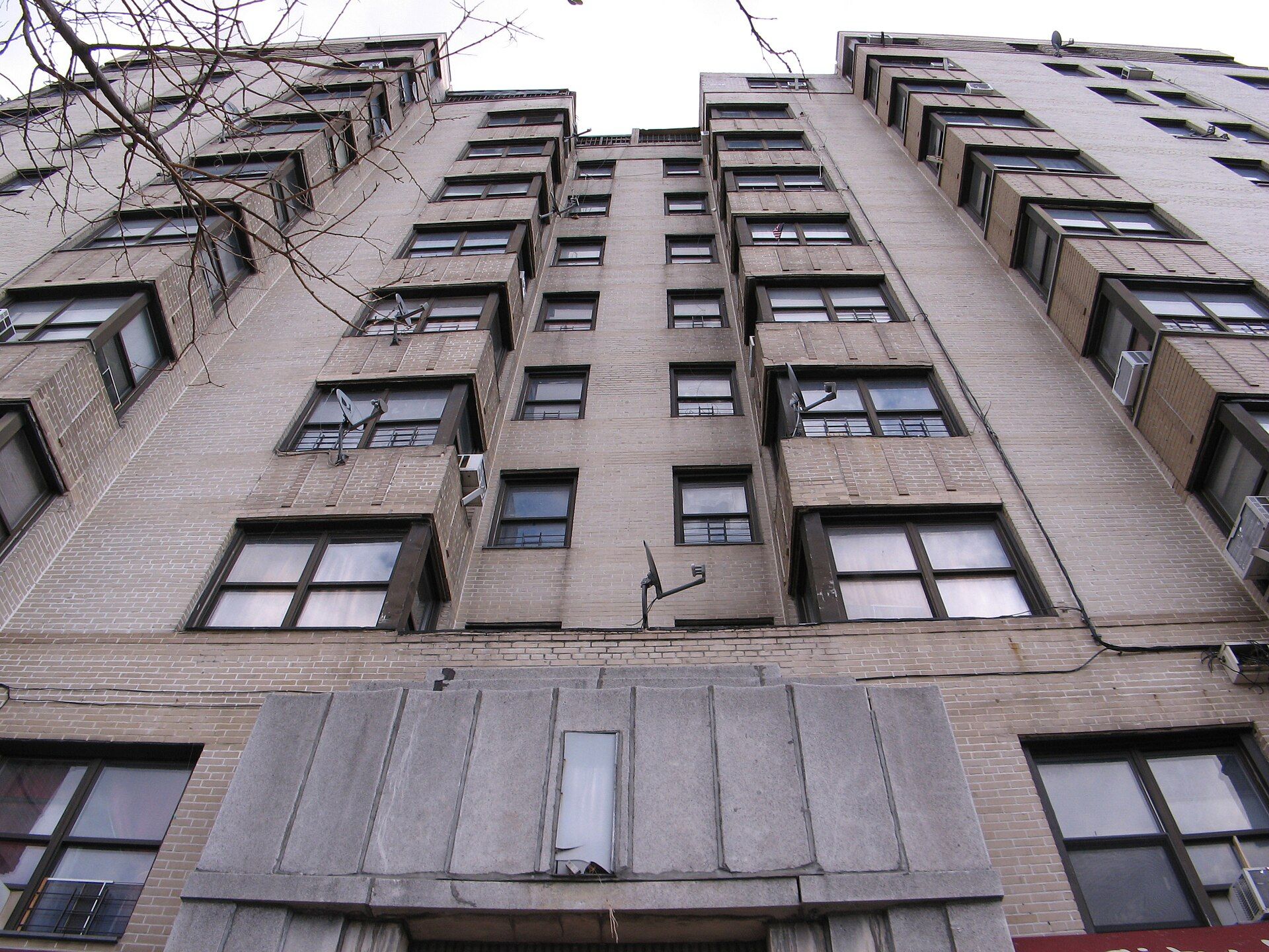
Housing grew faster than population. The district held 29,291 housing units in 2010 and 32,821 in 2020, an increase of 3,530 units, or 12.1 percent.2 Of the 2020 units, 30,906 were occupied, a rate of 94.2 percent, and 1,915 stood vacant on census day. The planning office notes that housing unit counts are not altered by the new privacy method, so these figures carry more certainty than the person counts above.2 The building types behind these units are described under Bronx housing stock and under prewar buildings, while the borough context appears in the entry on the Bronx. The Bronx Times reported in 2026 that Crotona Belmont Senior Housing, with 134 rental units, was finished nearby.8
A larger geography with a similar name
The NYU Furman Center publishes a neighborhood profile titled Belmont/East Tremont and coded BX06. That profile is built on a different and larger area. It estimates 179,934 people for 2024 and a housing count that reaches 71,227 units in its latest column, roughly twice the census totals for District 6, so its figures describe a wider zone and should not be quoted as the district’s own.4 Its rates are still useful when labeled correctly. For that combined Belmont and East Tremont area, Furman puts 2024 rental vacancy at 2.3 percent and the owner share of homes at 4.1 percent, set beside 32.7 percent for the whole city, and it counts 73.1 percent of commuters traveling without a car.4 Sandhills Real Estate, the company described on the Sandhills page, works in Belmont, one of the neighborhoods that wider area includes.